Earth day 2026: How satellites are tracking environmental change and helping vulnerable communities
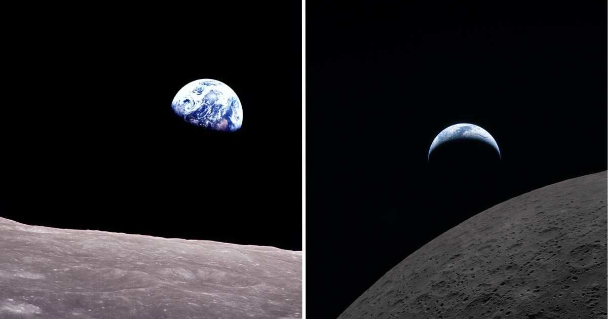
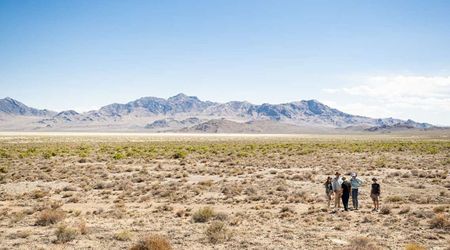
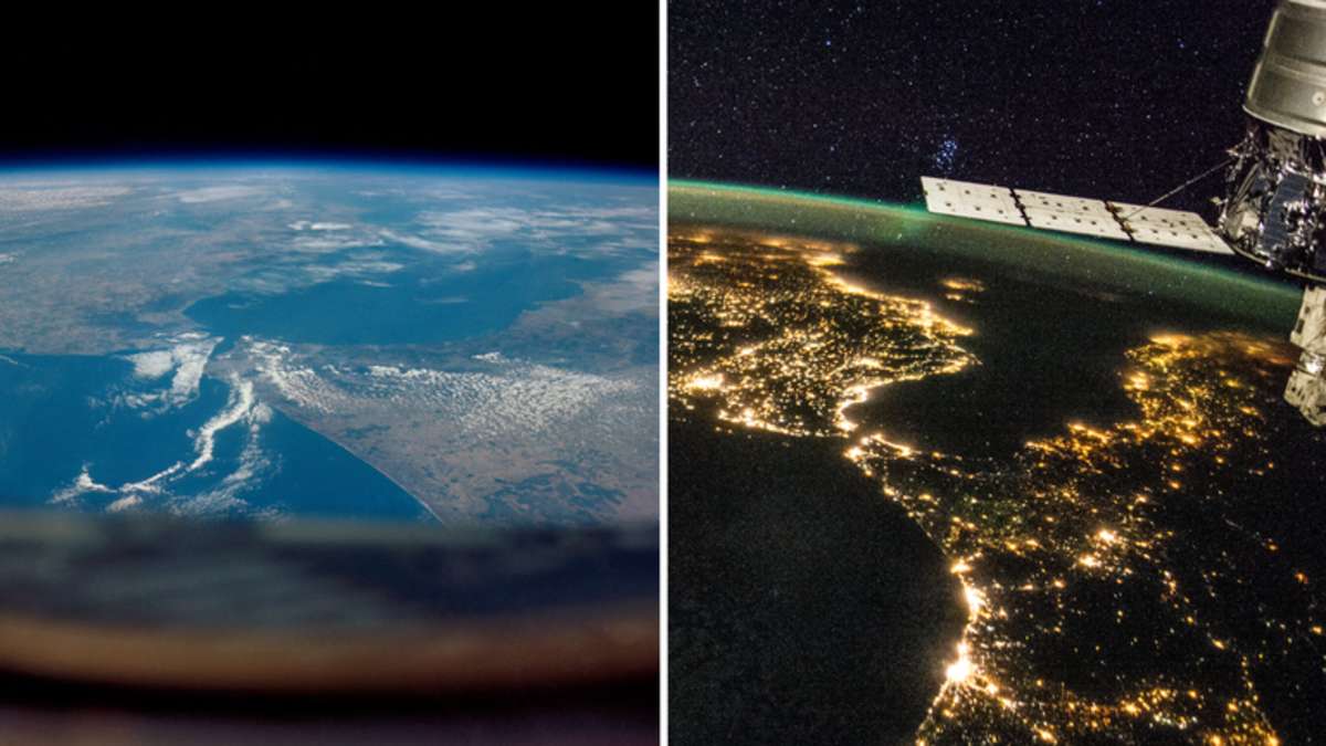
April 22 is celebrated annually as Earth Day, first observed in commemoration of the iconic “Earthrise” photograph taken during Apollo 8. Mirroring "Earthrise," the astronauts of the recently concluded Artemis II mission also shared an image of our home not too long before they sailed behind the Moon. Karen St. Germain, the division director at NASA Earth Science Division, stated, "The Artemis photos shared with all of humanity the breathtaking beauty of our home planet, as it can only be seen from space." But Earth is not just beautiful; it's also dynamic. While Artemis II had its eyes primarily on the Moon, various Earth science missions are trying to understand our own home better, delivering critical data that support enterprises like agriculture and help vulnerable populations prepare for natural disasters, among other things.
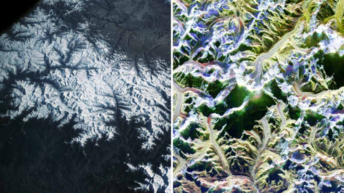
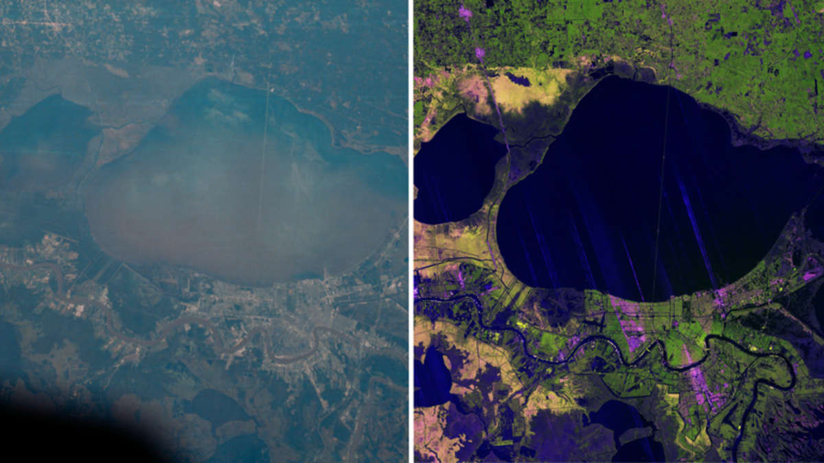
Modern satellite technology has taken a giant leap since the first weather satellite, TIROS-1, which launched in 1960 and provided weather forecasters with images of cloud cover using a pair of television cameras. Today, the NISAR (NASA-ISRO Synthetic Aperture Radar), a joint project between NASA and the Indian Space Research Organisation that launched in July 2025, uses advanced radar to penetrate clouds and forest canopy to reveal how the ground beneath is affected by rising sea levels and subsiding land. Tools like ASTER (Advanced Spaceborne Thermal Emission and Reflection Radiometer) and Landsat now monitor remote mountain ranges like the Himalayas with a level of detail that was once unimaginable.

Besides mapping the physical landscape and contributing to weather forecasts, space technology is now an important tool in ensuring food security. For example, using Copernicus Sentinel satellite data, the European Space Agency is helping control desert locust outbreaks in East Africa. The results have been transformative. Insecticide use has gone down significantly, which in turn has controlled costs and reduced environmental harm. In Ethiopia, for instance, the annual use has gone down from more than 1.1 million liters during major outbreaks between 2019 and 2021 to around 6,000 liters.
Satellites are also serving as an early warning system for the spread of diseases, which are exacerbated by climate change. A digital platform known as DIRE (Disease Incidence and Resource Estimator), developed by the ESA's Φ‑lab for UNICEF, uses machine learning and satellite-driven environmental data to predict outbreaks of dengue and malaria weeks before they escalate. This allows health authorities to mobilize staff and target vaccines where they will have the greatest impact. This was successfully piloted in Brazil and Peru, two countries heavily plagued by dengue, where the model outperformed previous prediction methods.
Space agencies like NASA and ESA are combining cutting-edge satellite technology with the expertise of Earth science teams to move beyond simple observations to deliver actionable data with the intention of helping vulnerable communities and preserving what makes our planet as beautiful as it is. ESA’s Director of Earth Observation Programmes Simonetta Cheli said, "This Earth Day, we are reminded that solid evidence is the foundation of effective action to protect our planet."
More on Starlust
How much water does an Earth-like planet need to harbor life? A new study has the answer