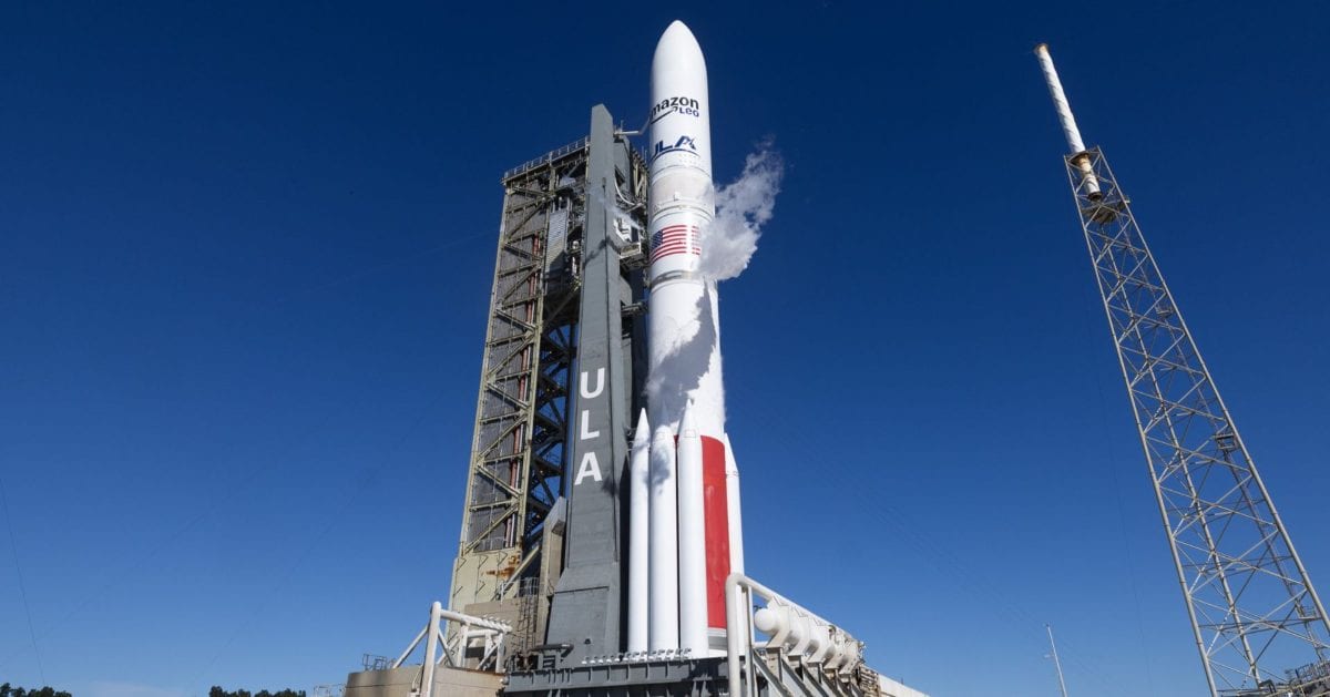
ESA's Sentinel-3C takes first thermal images, shows temperature map around western Australia and Spain
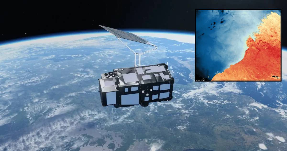
The European Space Agency (ESA) released Sentinel-3C's first thermal images in an update yesterday, November 18, which display land- and sea-surface temperatures around Western Australia and Spain. The images, captured during the first week of November, were snapped by the Sea and Land Surface Temperature Radiometer (SLSTR) instrument aboard Sentinel-3C. These first thermal images were taken during the commissioning period of Sentinel-3C, which is the in-orbit testing phase before the satellite commences its regular operations. The images include both thermal images and images obtained from the radiometer's visible and shortwave infrared channels.
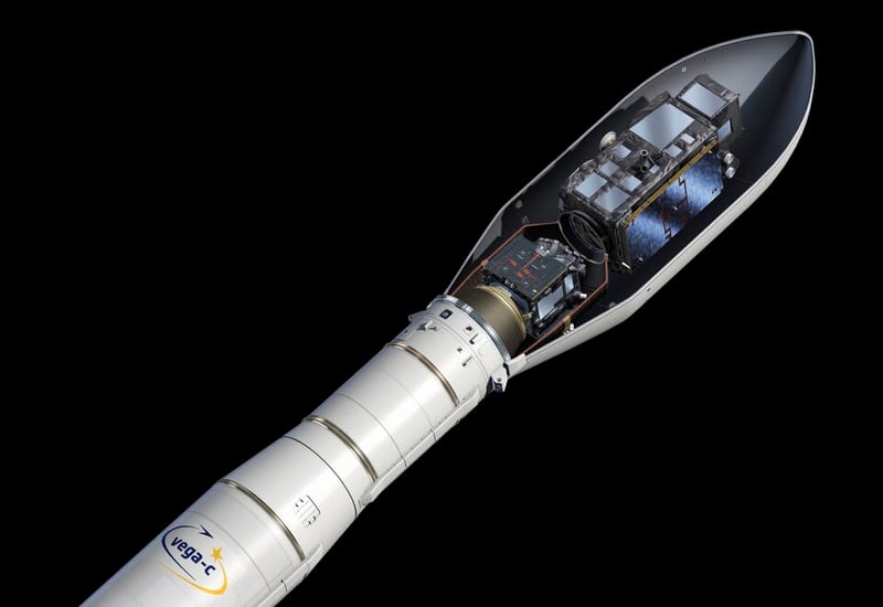
Sentinel-3C, the third satellite of the Copernicus Sentinel-3 mission, was launched at 03:21 on September 15 (9:21 p.m. EDT on September 14) aboard a Vega-C rocket along with another ESA Earth Observation satellite called FLEX. The mission was started to survey our planet's land, oceans, ice, and atmosphere so that the findings can help in monitoring wildfires, changes in sea levels, and marine pollution, among other things. The first satellite of the mission, Sentinel-3A, was launched on February 16, 2016, and was followed by Sentinel-3B on April 25, 2018. The Sentinel-3C satellite will take over from Sentinel-3A once it is fully commissioned, and Sentinel-3D will follow in 2029.
Sentinel-3C has reached its operational orbit! 🎯 After launching on 15 September, the spacecraft is now flying in tandem with, Sentinel-3B, as teams at #ESOC continue preparing Sentinel-3C for routine operations. https://t.co/AoPcPg9eGY
— European Space Agency (@esa) November 11, 2026
The SLSTR, one of the four instruments of Sentinel-3C, consists of nine spectral bands in the visible, shortwave infrared, and thermal infrared spectrum. The radiometer mainly focuses on gauging the surface temperatures of land and sea, while also having two channels designed to observe the magnitude of wildfires. The visible light channels of SLSTR already captured an image on October 2, revealing that they are functioning as expected. The image was of Hurricane Rachel over the eastern side of the Pacific Ocean. ESA is, of course, also more than happy with how the thermal infrared and shortwave infrared channels have performed, especially given that the instrument hasn't been fully commissioned yet.
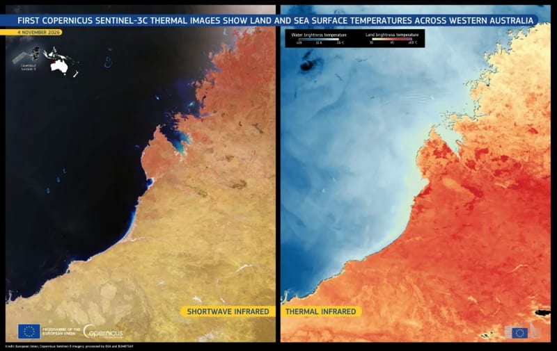
The above images, taken on November 4, 2026, display the Kimberley region located in Western Australia, which has encountered heatwaves and wildfires of late. These have been associated with El Niño, a climate pattern where the surface water temperatures in the tropical Pacific Ocean are higher than in usual scenarios. Near the center of the images, a view of the town of Broome and the Dampier Peninsula can be seen. Also, the Rowley Shoals, a set of three coral atolls, are visible beneath the ocean's surface on the western side of Broome. The image on the left is a false-color image that merges the visible and shortwave infrared bands and displays vegetation in reddish hues and burn scars from the wildfire in brown. The image on the right is a thermal infrared one that depicts the brightness temperatures of the area, which are a measure of the emitted radiation from sea and land surfaces. These brightness temperatures vary from the actual temperatures on the surface. In this particular image, these brightness temperatures exceed 40°C across a huge portion of the inland region, while those covering the eastern part of the Indian Ocean are approximately 20°C.
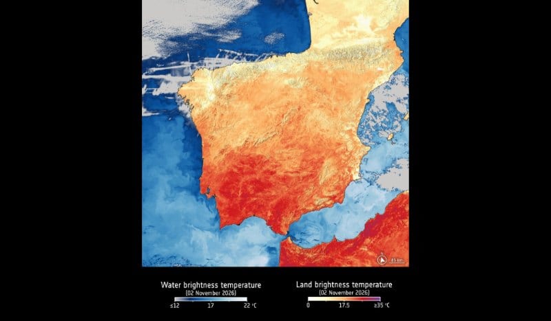
In another set of observations obtained on November 2 by SLSTR, a display of southwestern Europe and some regions of North Africa is shown. The thermal infrared image of the region (below) shows that temperatures over southern Portugal and Spain's Andalusia region are in the mid-to-high 20°C, while some regions of Morocco and northern Algeria exceed 30°C. And while there is a sharp contrast between land and sea temperatures around the coasts of North Africa and southern Spain and Portugal, that is not the case further north.
“SLSTR’s thermal channels read temperatures to within a few tenths of a degree,” said Milen Tahtadjiev, Copernicus Sentinel-3 Mission Manager at EUMETSAT, in a statement. “That precision is crucial for the forecast models that Europe’s weather services rely on, and for climate monitoring, including El Niño, marine heatwaves and long-term ocean warming. SLSTR data also show civil protection authorities where wildfires are burning and how fiercely, as in southern Europe this summer. With these incredible first images, we can be confident its measurements will keep supporting essential services for many years to come.”
More from Starlust
ESA lays the foundation for its best-ever 3D map of the Universe, with over 900 million galaxies