Astronomers release the biggest 2D map of the universe, featuring nearly 4 billion celestial objects
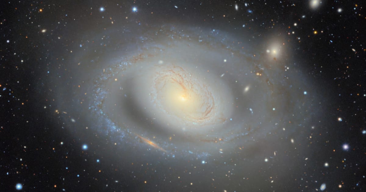
The Dark Energy Spectroscopic Instrument (DESI) Legacy Imaging Surveys team has released the largest 2D map of the universe, which spans nearly 75% of the sky. The 5.6-trillion-pixel map, created by combining 263,407 telescope exposures from three ground-based sky surveys, catalogs nearly 4 billion celestial objects across visible and near-infrared wavelengths. The data, which has been made publicly available through the Legacy Survey Sky Viewer, can be used by astronomers and citizen scientists alike to track and study galaxies, stars, asteroids, gravitational lenses, and supernovae. It will also allow them to look into two of the universe's biggest mysteries—dark matter (the invisible substance accounting for most of the universe's mass) and dark energy (the invisible force driving the accelerating expansion of the universe).
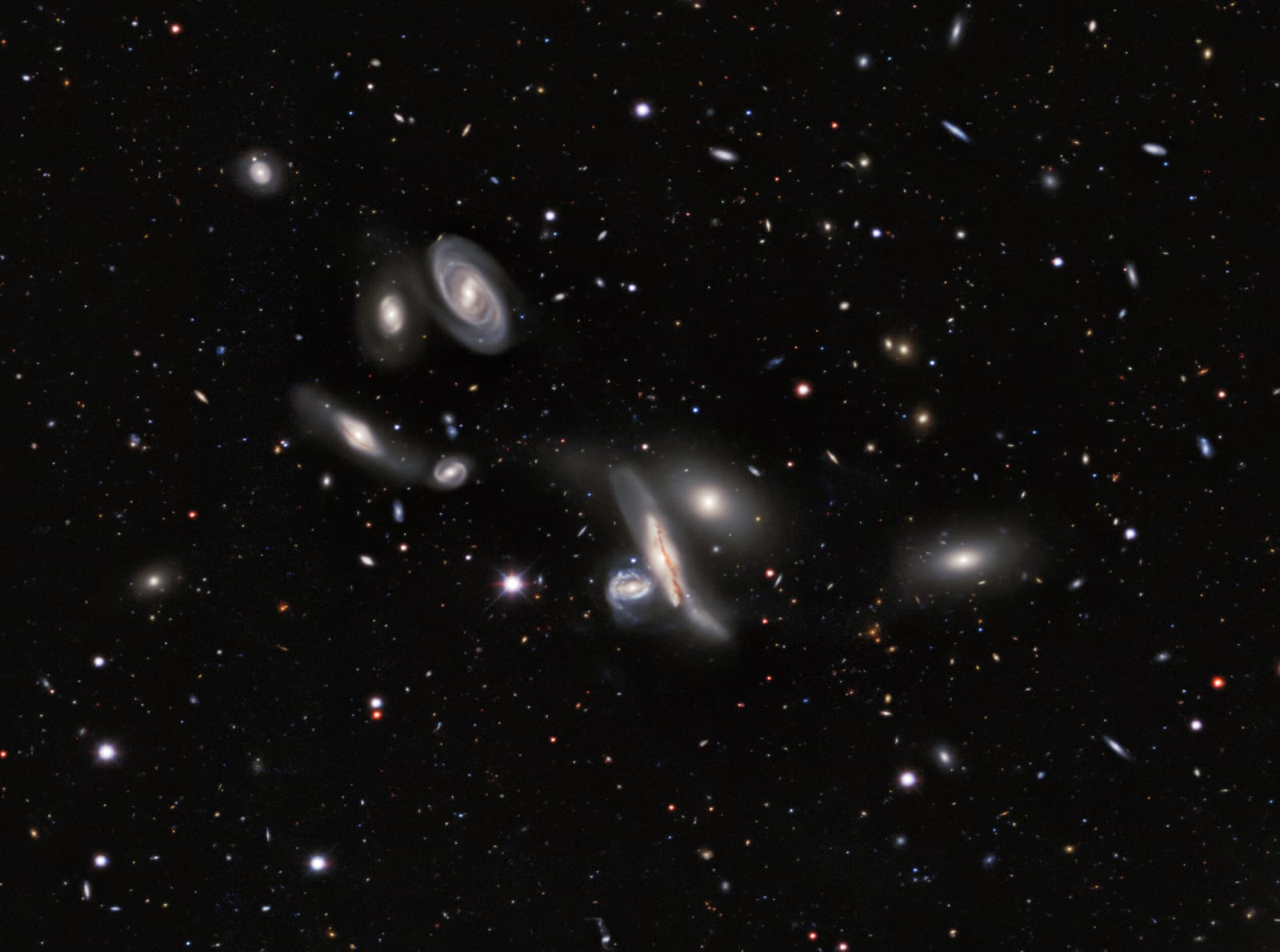
“It’s part of the fabric of astronomy research now,” said David Schlegel, a co-lead of the Legacy Surveys and scientist at the Department of Energy’s Lawrence Berkeley National Laboratory (Berkeley Lab), in a statement. “When you're working with astronomical objects today, you often start by pulling up the Legacy Imaging Viewer to see what you’re looking at.” As of now, more than 1,800 published papers contain references to the Legacy Surveys' data.
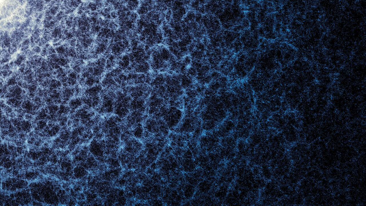
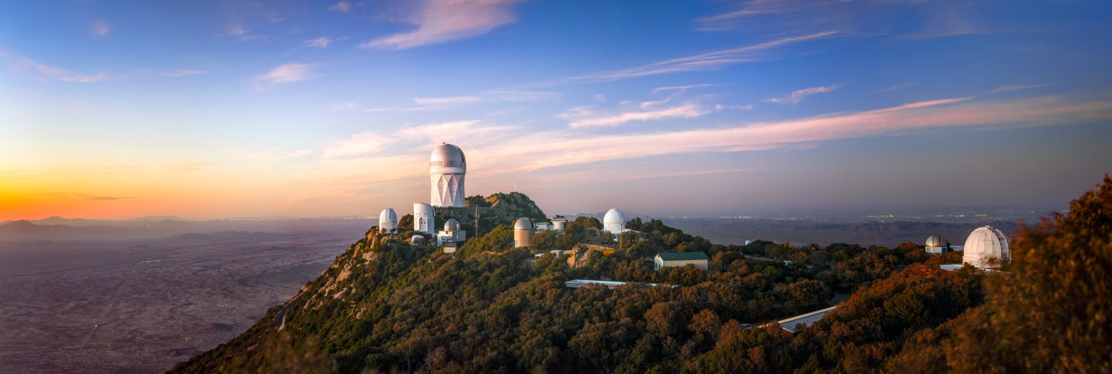
Mounted on the Mayall 4-meter telescope at Kitt Peak National Observatory, DESI obtains optical spectra for tens of millions of galaxies and quasars and is meant to measure the impact of dark energy on the expansion of the universe. In fact, by the end of its original five-year survey in April 2026, DESI had already exceeded expectations, mapping more than 47 million galaxies and quasars and creating the largest high-resolution 3D map of the universe in the process. With early results showing signs that dark energy may be evolving or weakening over time—which, if confirmed, could mean a huge shift in our understanding of the fate of the universe—DESI will continue its observations into 2028 to further expand the map.
The new map, which took 13 years to create and features the contributions of more than 160 scientists, offers a 2D foundation for the larger effort to create a 3D map.
“Explorations of our universe always start with images of the night sky. The DESI Imaging Legacy Surveys are just one step in this venerable human tradition,” said Arjun Dey, co-lead of the Legacy Surveys and an astronomer at NSF NOIRLab. “For our team, these data are fundamental to the investigation of the expansion history of the universe and the formation of our galaxy. But the skies belong to everyone, and this survey gives everyone the chance to marvel at their wonders.”

Going forward, the Legacy Surveys, which were originally carried out to support the DESI survey, are also expected to complement newer observatories like the U.S. National Science Foundation-Department of Energy (NSF-DOE) Vera C. Rubin Observatory and NASA's Nancy Grace Roman Space Telescope. Furthermore, this vast dataset will aid in the training of artificial intelligence tools, which, in turn, will help scientists analyze petabytes of astronomical data, thus enabling them to make new discoveries at an accelerated rate.
More on Starlust:
Rubin Observatory begins 10-year survey to create the 'greatest cosmic movie ever'
New James Webb Space Telescope data challenges one of dark matter's strongest pieces of evidence