NASA’s Perseverance rover investigating Mars’ megaripples makes fascinating discovery
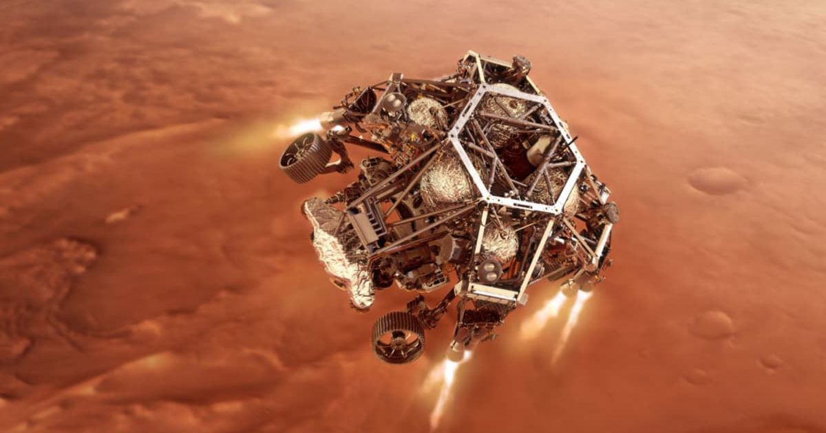
NASA's Perseverance rover has shifted its focus from ancient rock formations to the ever-changing Martian landscape, making a key discovery about the planet's modern environment. The rover recently completed an investigation of inactive "megaripples," large, wind-formed dunes, at a site called "Kerrlaguna." This marks a new phase in its mission to understand the forces of wind and water currently shaping the Red Planet, as per NASA.
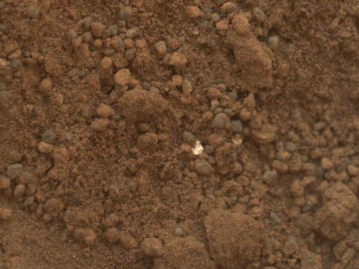
Previously, the rover's journey south was complicated by steep, rocky terrain, which hindered its progress toward a new rock formation named "Midtoya." While the direct path was abandoned, the effort was not in vain. Perseverance successfully collected data on new, spherule-rich rocks that had rolled downhill, including a unique, helmet-shaped specimen nicknamed "Horneflya" that has generated significant online interest.
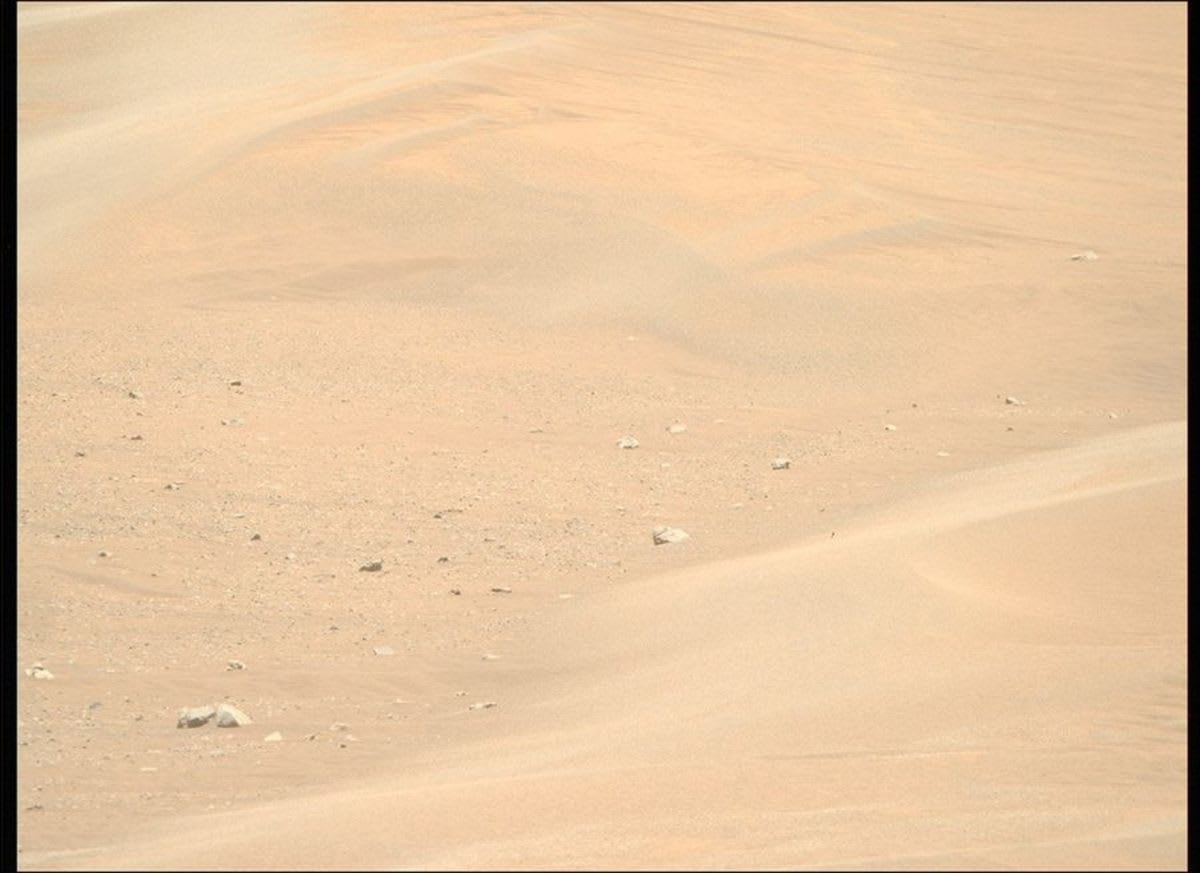
The rover is now studying megaripples up to one meter tall at "Kerrlaguna," using instruments like the SuperCam, Mastcam-Z, and MEDA to analyze the sand grains and any salty crusts that have formed. This research builds on past work by the Curiosity rover, which studied an active dune nearly a decade ago. Unlike those active dunes, the older, immobile megaripples at "Kerrlaguna" offer a unique perspective on the long-term effects of wind on the Martian surface.
Beyond the scientific insights, data from this investigation could be vital for future human missions. The ability to document potential resources within Martian soil will be crucial for helping astronauts survive and thrive on the planet. The successful campaign at "Kerrlaguna" is considered a trial run for a more extensive study planned for a larger field of dunes at "Lac de Charmes," further along the rover’s path.
In addition to its geological studies, the Perseverance rover has captured a breathtaking panoramic image of the Martian landscape. The stunning mosaic, composed of 96 individual photos, was taken at a spot called "Falbreen" and offers an apparent view of the Jezero Crater rim. The panorama provides an unprecedented level of detail, highlighting everything from a nearby rock that appears to be "floating" on a sand ripple to hills visible up to 40 miles away. Scientists are captivated by the crispness of the images, which reveal a clear boundary between two different types of rock. An enhanced-color version of the photo also shows the typically red Martian sky as a surprisingly clear blue.
A few interesting sights here:
— NASA Mars (@NASAMars) August 6, 2025
- The abrasion patch made by the rover is 2 inches (5 centimeters) wide
- These tracks are about 300 feet (90 meters) away
- This peak is 40 miles (65 kilometers) away!https://t.co/yler3uvX00 https://t.co/fz44XK3QsI pic.twitter.com/hgy2v892EY
Acting NASA Administrator Sean Duffy spoke to the significance of the image, connecting the rover's discoveries to the future of human space exploration. "Stunning vistas like that of Falbreen, captured by our Perseverance rover, are just a glimpse of what we’ll soon witness with our own eyes," Duffy said. "NASA’s groundbreaking missions, starting with Artemis, will propel our unstoppable journey to take human space exploration to the Martian surface."
The choice of Jezero Crater as the landing site for Perseverance was a result of a rigorous five-year global study, according to NASA. The mission team and scientists from around the world meticulously evaluated over 60 potential locations on the Red Planet, each with unique characteristics. Ultimately, Jezero was selected for its strong evidence of a watery past, with scientists believing the crater was once a lake fed by an ancient river delta. This ancient history makes Jezero the ideal location to search for signs of past microbial life.