Sentinel-6B now orbits Earth—5 ways the satellite will advance the study of our seas
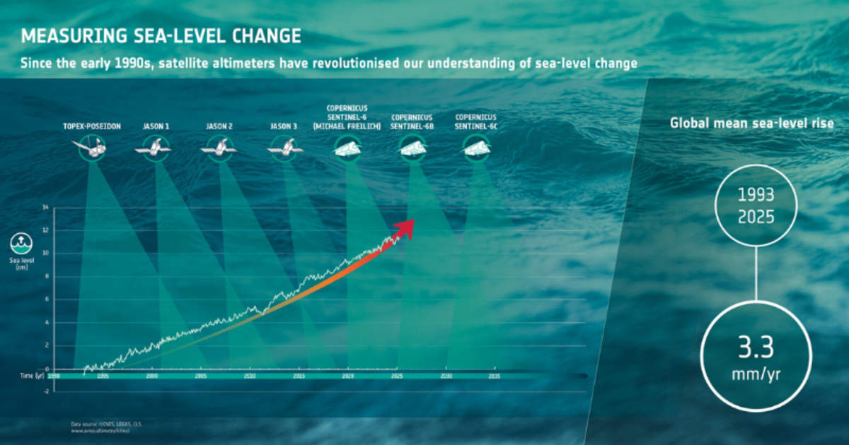
For more than 30 years, satellites have been watching the oceans, providing scientists with a clear view of how our sea level is rising in response to climate change. And now, we have got a new guardian in Sentinel-6B, which has taken its place in orbit, per the European Space Agency (ESA).

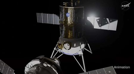
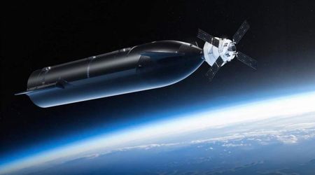
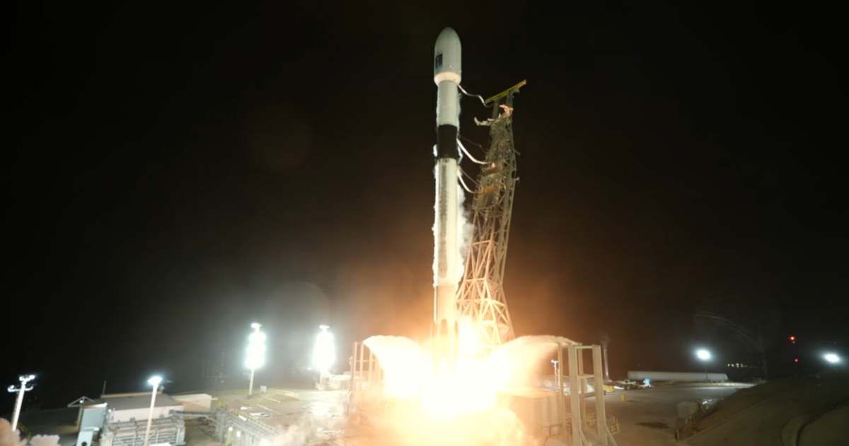
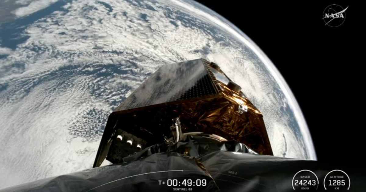
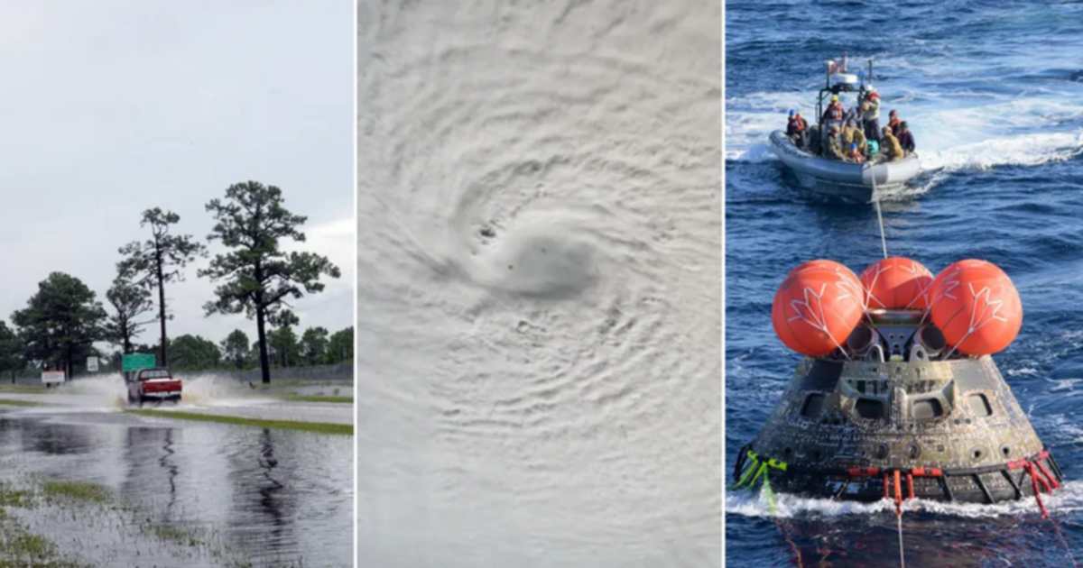
Sentinel-6B lifted off from Vandenberg Space Force Base in California on a SpaceX Falcon 9 at 12:21 a.m. EST, Monday, November 17. Not long after liftoff, ESA’s operations centre in Germany received confirmation that the satellite was functioning properly. Its job is to build on the work by missions like the French-US Topex-Poseidon and, more recently, the Sentinel-6 Michael Freilich, launched in 2020.
Built through a remarkable collaboration between the European Commission, ESA, NASA, Eumetsat, NOAA and with support from CNES, the Sentinel-6 mission has become the global reference for sea-surface height measurements. “Collaboration between partners is key to a mission such as Sentinel-6, and my thanks go to everyone involved in developing, launching and operating this exceptional satellite, which follows in the footsteps of the first Sentinel-6, Michael Freilich” said the ESA’s Director of Earth Observation Programmes, Simonetta Cheli. She added that Sentinel-6B will continue to deliver the “high-precision data needed to understand our changing climate, safeguard our oceans and support decisions that protect coastal communities around the world.”
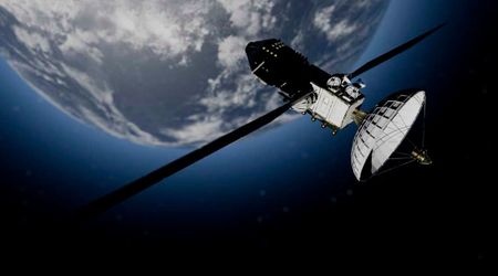
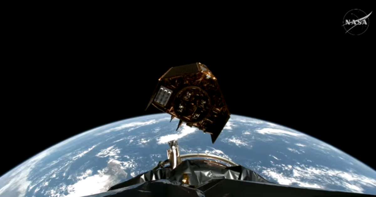
Like its predecessor, Michael Freilich, Sentinel-6B carries a powerful radar altimeter that sends pulses to the Earth's surface and checks the time of their return. By combining this travel time with accurate satellite positioning, scientists can calculate the height of the sea surface. Moreover, NASA’s microwave radiometer on board helps account for atmospheric water vapour, which can slightly distort radar readings.
Now that Sentinel-6B has reached Earth’s orbit, it will have a cross-calibration with Sentinel-6 Michael Freilich before starting in full capacity. Once operational, its data will support a broad range of scientific, environmental and economic applications. Here are 5 ways Sentinel-6B will increase our knowledge of Earth’s oceans, based on information from NASA.
1. Monitoring 90% of Earth’s ocean surface
The satellite will provide sea-level change data across nearly the entire global ocean. It will monitor everything from currents and eddies to how heat and energy move through Earth's seas, thereby improving public safety and city planning, among other things.
2. Hurricane and weather forecasting
The data from the Sentinel-6/Jason-CS mission will help enhance weather prediction models, therefore adding to the preparedness of disaster management bodies in the event of hurricanes.

3. NASA’s atmospheric models
The mission supports the Goddard Earth Observing System atmospheric forecast models, improving predictions used for safe astronaut reentry during Artemis missions.
4. National security and military planning
Sentinel-6B’s near-real-time ocean and atmospheric data help protect coastal bases and improve forecasting tools used in naval operations.
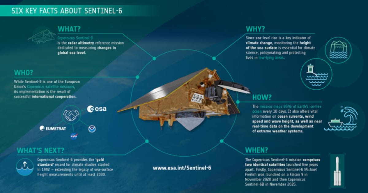
5. International collaboration
Through collaboration of partners in the U.S. and Europe, the mission pools resources and expertise, making high-value climate data available to researchers, governments and industry worldwide.
Sentinel-6B’s arrival is not just the launch of another spacecraft; it’s a continuation of one of the most important climate monitoring efforts. Together with Sentinel-6 Michael Freilich, it will help ensure that humanity has the long-term, precise and reliable information needed to understand our oceans.
More on Starlust
Falcon 9 to deliver 28 new Starlink satellites from Space Launch Complex on September 29
ESA's Biomass satellite launched aboard Vega C to track carbon and fight climate change