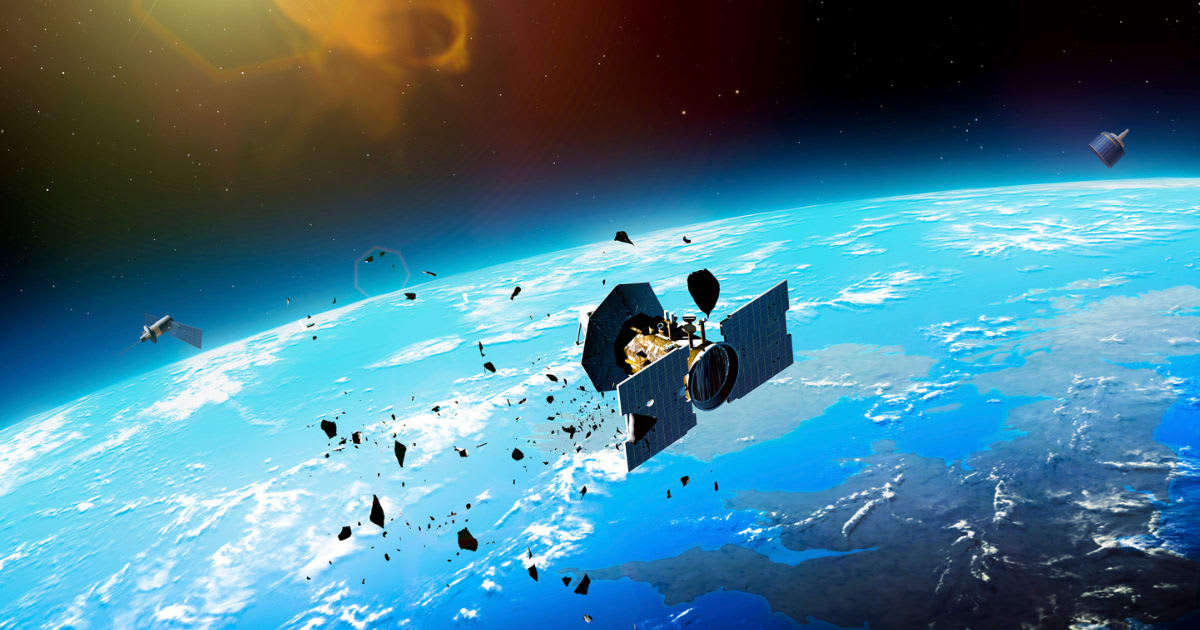
Scientists aim to curb space junk risks by using AI to locate debris in the Earth–Moon region
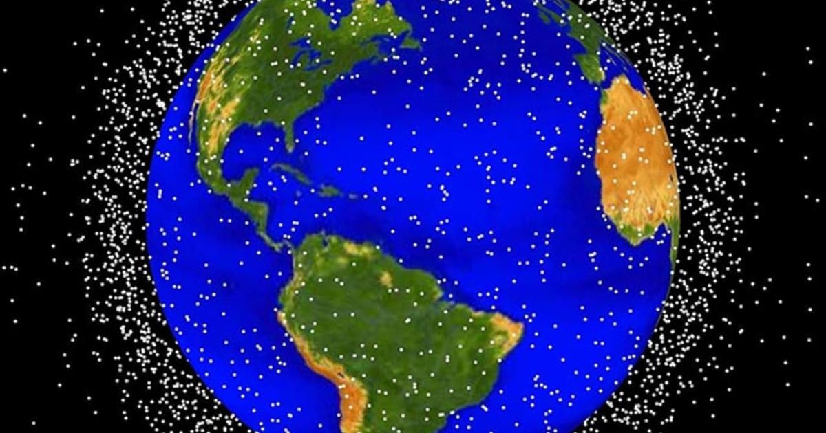
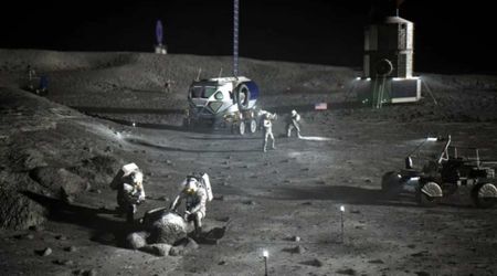
Since space programs like the Apollo missions, humans have left debris on the Moon. After the Artemis II mission, 30 more missions may be launched into space between Earth and the Moon. In the future, missions will increase the risk of collisions, explosions, and debris buildup. Now, research conducted by a team at Purdue University raises such concerns in a paper published in The Journal of the Astronautical Sciences. Future spacecraft may use nuclear fuel. If such a spacecraft explodes or collides, it could release radioactive debris, the model-based research has shown.

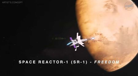
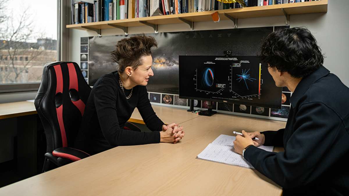
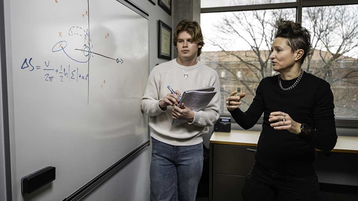
The team, led by Carolin Frueh, studies how the latest spacecraft technology could affect the formation of space debris. Unlike other moon-bound spacecraft, rockets for upcoming lunar missions could use nuclear thermal propulsion systems. This will make the spacecraft more fuel-efficient, but this trade-off comes at a cost. A collision or explosion could make such rockets spread radioactive debris into space or contaminate lunar soil. Frueh and her students modeled the effects of such scattering in the cislunar region, the space between Earth and the Moon. They found that nuclear-contaminated fragments from a nuclear thermal propulsion could give off radiation up to a half-mile away from an impact site on the Moon. Such radiation could linger and stay elevated for at least a year, posing a threat to a nearby Moon base.
“There are better and worse locations for fragmentation. The pieces could hit a moon colony — or not. But we still need to be careful because it’s not obvious where fragments will congregate,” Frueh said in a statement. But space always changes. It is not always possible for Earth-based telescopes to view the whole cislunar region to track where fragments and spacecraft head. The Purdue team overcame this by creating comprehensive visibility maps. These will help determine where to place the telescopes on satellites to get the best view of the cislunar region. They created maps by using models that take the average of the orbits that a telescope uses over a 30-day period, incorporating the movement of Earth, the Moon and the Sun.
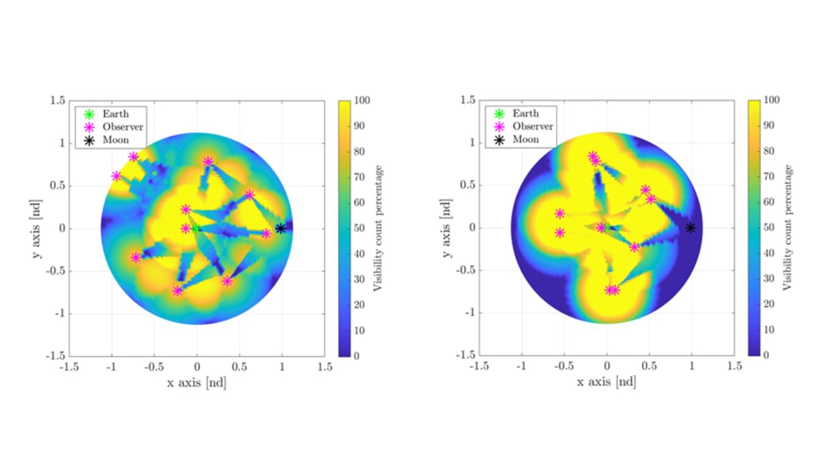
The maps increased the visibility rate success from 10% to 90% for a cluster of 10 telescopes in cislunar space. Frueh also extended their research to the low Earth orbit, the most frequently used space to launch spacecraft. Despite having a monitoring system that works throughout the day, it is difficult to track the ever-growing number of satellites. Frueh and PhD student Pavithra Ravi studied how five organizations decided whether to relocate satellites at risk of collision for 30 scenarios in low Earth orbit. For this, they used a machine learning model and then trained it with two sets of data.
“One dataset had more than 300,000 physics-based simulated events closely mimicking reality, and the other set had 8,000 real confirmed collisions and misses in low Earth orbit,” according to the statement. They applied the model to the same 30 scenarios that the satellite operators had considered. “The machine learning model was able to mimic the decision-making of each satellite operator with high reliability, correctly detecting probable collisions most of the time and prioritizing safety in deciding if satellites should change position,” the statement reveals. Most satellites, illuminated by the Sun, look like white dots with a telescope. Frueh’s technique can be used to track changes in the brightness of these dots over time. This forms “light curves” on a graph.
It is less expensive than radar and provides information about a satellite, no matter how far away it is from Earth. It is effective as long as the satellite reflects some light toward the telescope on the ground. “With light curves, we’re not seeing any detail — just a bright dot. Changes in information about the object’s orientation, shape and reflectivity are all embedded in that dot,” Frueh said. At times, white dots could be ambiguous. The researchers overcome the ambiguity by developing an algorithm that incorporates all the possible positions of a satellite, allowing reliable determination of a satellite’s orientation. The AI-based method could also be used to remove space debris. “The better we know about the pieces we’re dealing with — what’s the shape, how much rotation they have — the better we can execute missions to remove those pieces,” Frueh said.