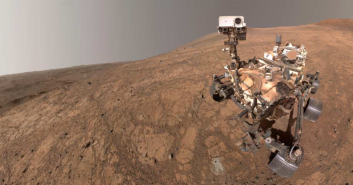
NASA's Perseverance Rover can now locate itself precisely on Mars—here's how
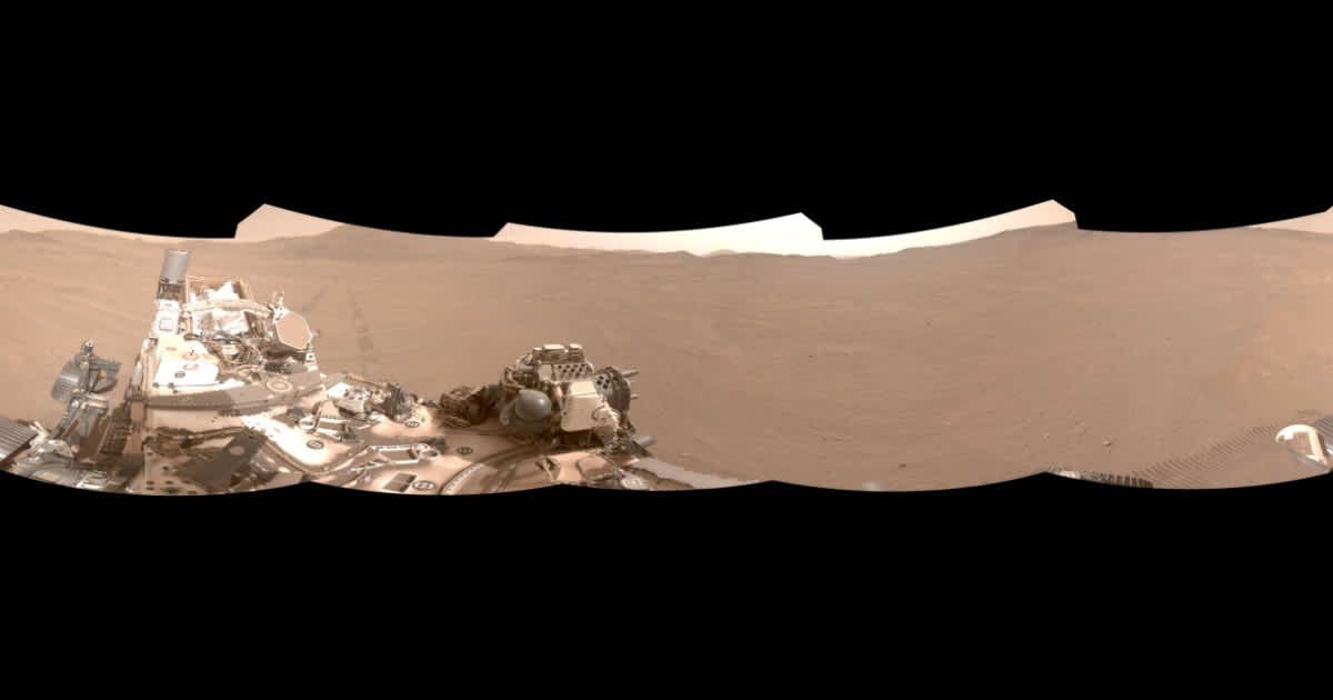
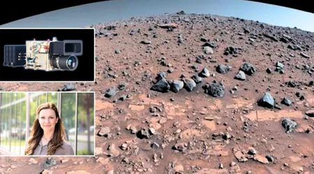
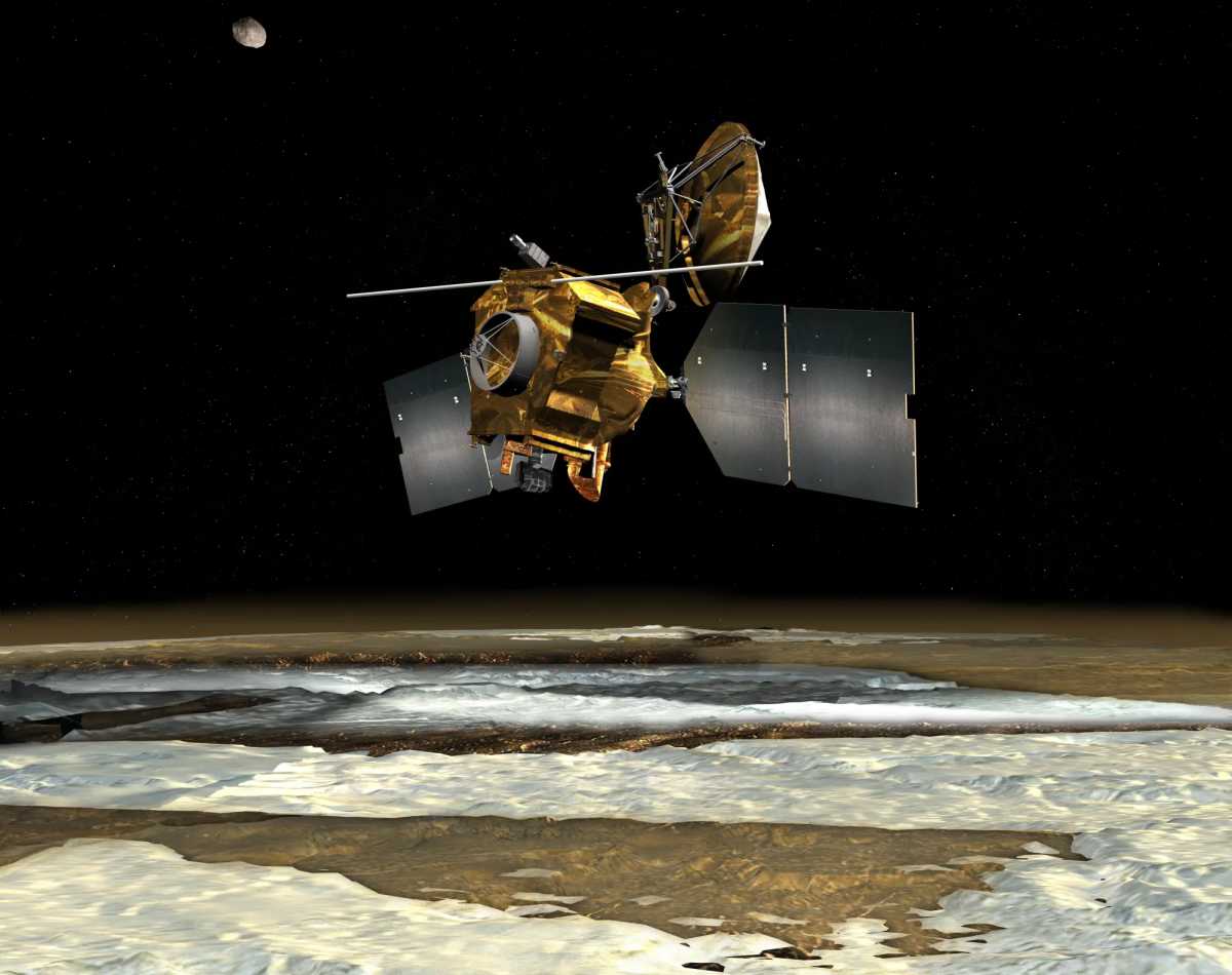
NASA’s Perseverance rover has achieved a major milestone by autonomously pinpointing its exact location on Mars using new technology called Mars Global Localization. First used successfully on February 2, 2026, at a spot named “Mala Mala” at the rim of the Jezero Crater, the system managed to tally the Martian terrain features through 360-degree panoramic images from the rover’s navigation cameras and images obtained from NASA’s Mars Reconnaissance Orbiter (MRO) in its orbit around the Red Planet.
Running on the Helicopter Base Station (HBS) processor originally used for communications with the Ingenuity Mars Helicopter, the algorithm completes the process in about two minutes, achieving accuracy within 10 inches. “This is kind of like giving the rover GPS. Now it can determine its own location on Mars," said JPL’s Vandi Verma, the chief engineer of robotics operations for the mission. "It means the rover will be able to drive for much longer distances autonomously, so we’ll explore more of the planet and get more science. And it could be used by almost any other rover traveling fast and far." This breakthrough comes after Perseverance’s recent success with AI-directed driving, where the rover completed its first autonomous drive with AI selecting the waypoints that are typically picked by human operators.
Usually, visual odometry tracks position by analyzing camera images every few feet, but errors as large as 100 feet (35 meters) accumulate on longer journeys. This forces the rover’s internal computers to halt the rover early out of fear of hazardous terrain and wait for human intervention. Following each halt, the rover sends a 360-degree panorama to Earth. This image is then tallied with visuals from the MRO before a new set of instructions is sent to the rover. The whole process almost takes an entire day. “Humans have to tell it, ‘You’re not lost, you’re safe. Keep going,’” Verma said about the rover’s prior need for human instructions. “We knew if we addressed this problem, the rover could travel much farther every day.”
But now, with Mars Global Localization, the rover can study the images by itself and plan its path. Engineers tested the algorithm on data from 264 prior stops, starting in 2023, achieving accuracy each time. “We’ve given the rover a new ability. This has been an open problem in robotics research for decades, and it’s been super exciting to deploy this solution in space for the first time," said Jeremy Nash, a JPL robotics engineer who was at the forefront of the team working under the supervision of Verma.
This new technology provides NASA and its engineers with hopes of extended drives, more scientific data, and reduced need for human intervention. NASA also mentioned working on lunar adaptations meant for low lighting and harsh temperatures. Much like what is happening with the Mars Global Localization system, the innovation could potentially help future spacecraft pinpoint their location with accuracy despite the harsh conditions.
More on Starlust
Billions of years ago, a wet and warm Mars was possibly in its most habitable era
SpaceX pauses Mars plans, shifts focus on building a 'self-growing city' on Moon within a decade