NASA demonstrates how satellite view of Earth's night lights reveals humanity in motion
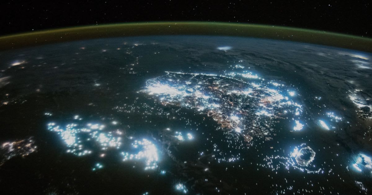
NASA has released stunning satellite imagery revealing a dynamic new perspective on human activity across the globe. Using specialized sensors on instruments like the Visible Infrared Imaging Radiometer Suite (VIIRS), the agency can capture the Earth's night lights, providing a powerful tool for monitoring a wide range of human and natural phenomena, as per the recent YouTube video shared by NASA's Goddard Space Flight Center.
While you were sleeping, we were doing science 😴@NASA and @NOAA can detect Earth’s nightlights. These images are gorgeous, but they can also help identify blackouts after disasters, monitor fishing activity, better track space weather & more! pic.twitter.com/GqCzcS7Pw8
— NASA Earth (@NASAEarth) August 1, 2025
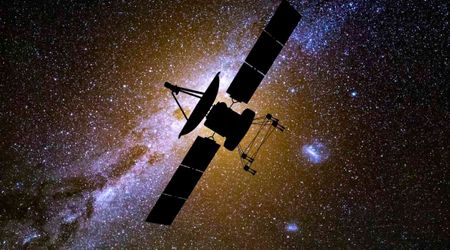
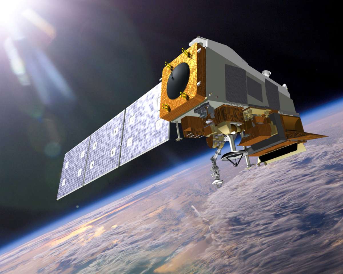
VIIRS is one of five instruments aboard the Suomi National Polar-orbiting Partnership (NPP) satellite, which was launched in 2011, per NASA. This mission acts as a crucial link between older Earth-observing satellites and the next generation of weather and climate monitoring technology. VIIRS is a central component of the Joint Polar Satellite System (JPSS), a collaboration between NASA and NOAA. This ensures a continuous stream of night-light data, with four planned JPSS missions, each carrying a VIIRS instrument, scheduled to last through 2031.
The satellite data offers a compelling look at how cities and towns are evolving over time. It can pinpoint population growth, show the expansion of electrical grids, and even track the annual spread of holiday lighting traditions. In the oceans, the bright lights of commercial fishing fleets appear like scattered islands, enabling officials to monitor their movements, as mentioned on NASA's Goddard Space Flight Center's YouTube channel.
Beyond illuminating human expansion, this technology is proving to be a critical resource for emergency and scientific applications. The VIIRS instrument can track power outages during extreme weather events, allowing disaster response teams to quickly identify areas in need of assistance. Likewise, the data provides a crucial overview of wildfires, showing where blazes are spreading and where new fires are igniting.

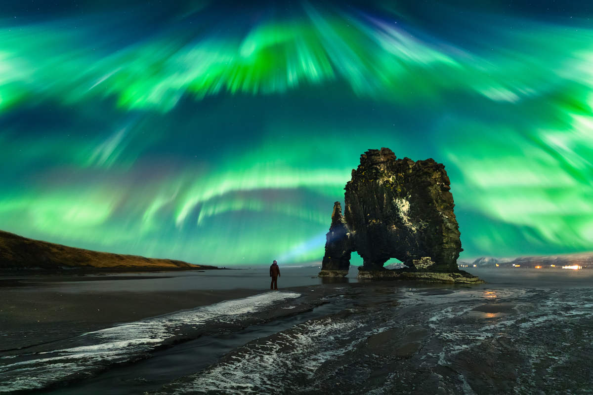
The reach of this data extends even beyond Earth. By analyzing the light of the night sky, scientists can refine aurora forecasts, which helps with planning for potential impacts on technology and predicting where to best view the northern lights. In essence, these mesmerizing images of a glowing Earth are not just for show; they are a vital stream of information helping us understand our ever-changing world, from assisting in disaster relief to glimpsing the rhythms of global cultures.
The availability of such valuable satellite data, however, has recently been a point of contention. The Department of Defence (DoD) has now reversed a controversial decision to stop sharing satellite weather data that is critical to hurricane forecasters, according to NPR. The Navy announced in June its intent to halt the dissemination of this vital information, a move that drew immediate concern from scientists and meteorologists who feared it would compromise the accuracy and timeliness of hurricane predictions, especially as the Atlantic hurricane season neared its peak.
For over four decades, the Department of Defence (DoD) has shared atmospheric and oceanic data collected by its satellites with the scientific and meteorological communities. According to a Navy spokesperson, the initial plan to phase out the data was part of a broader DoD modernization effort. However, following feedback from its government partners, the Navy's Fleet Numerical Meteorology and Oceanography Center "found a way to meet modernization goals while keeping the data flowing." The data sharing will now continue until the sensor fails ot the program formally ends in September 2026.